How to Find Your Way When GPS Stops Working
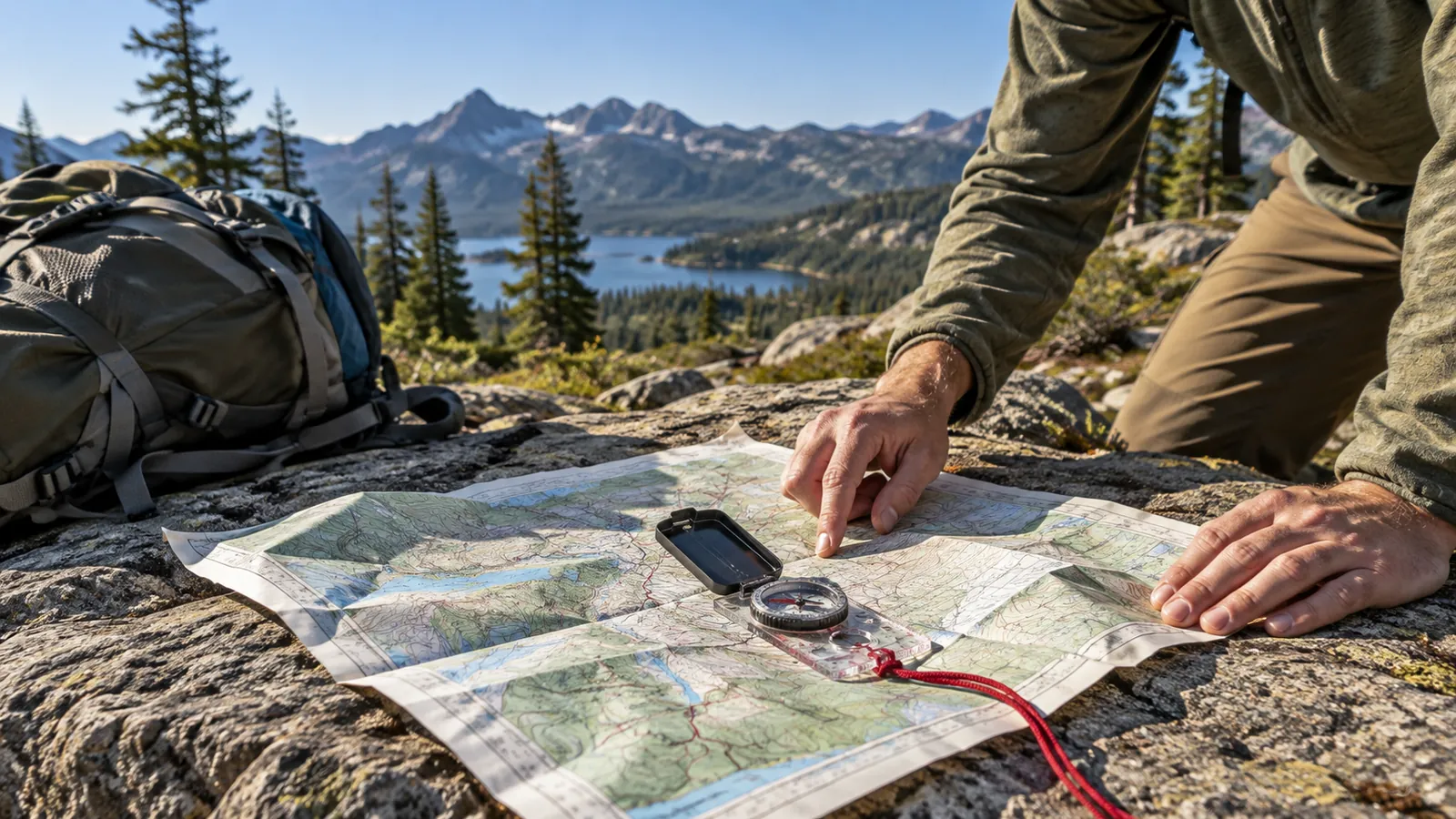
It's an odd feeling to look down at a phone that knows where every coffee shop is, only to discover it has no idea where you are. Maybe the battery is nearly gone. Maybe the map never downloaded. Or maybe there's a perfectly good blue dot on the screen but no roads where you're standing.
Navigation gets talked about as though there's a choice between modern technology and an old-fashioned compass. I wouldn't throw away the phone. I would just stop making it the only way I know how to get home.
The useful skill isn't memorizing a thousand compass bearings. It's knowing your last reliable location, seeing what the ground tells you, and making fewer bad decisions when the easy directions disappear.
Make a map useful before you need it
A road atlas and a topographic map solve different problems. A road atlas tells you which roads connect, where the river crossings are, and what town lies beyond the next junction. A topographic map shows the hills and valleys between you and your destination, plus features like streams, ridges, trails, and buildings.
Choose the map for the trip. On a drive into unfamiliar country, I would rather have a current printed road map with enough detail to distinguish county roads than a beautiful wilderness map that barely shows them. For a hike, the reverse is true. A trail map showing the route and its junctions is usually more useful than a statewide highway map.
Before leaving, mark three things: where you'll start, where you expect to finish, and at least one point you can recognize along the way. A highway crossing, named creek, trail junction, or prominent ridgeline is more helpful than an arbitrary dot in the woods.
Print or download the relevant map while the internet works. An offline phone map is still valuable, but its usefulness depends on the battery, the app, and whether the correct area was saved. Paper won't give you turn-by-turn instructions, and it won't suddenly disappear because a charging cable failed.
Learn what a compass can actually tell you
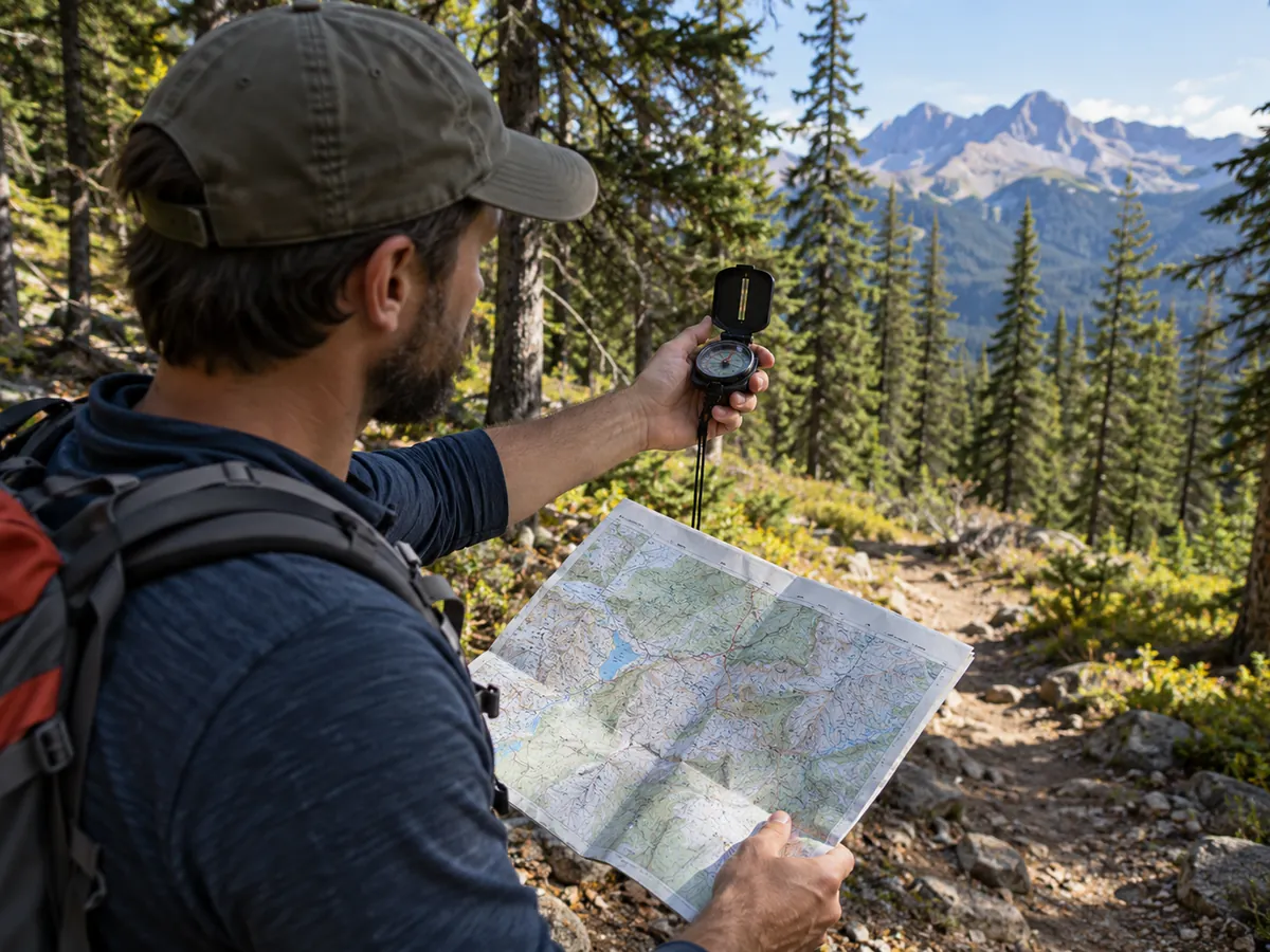
A basic compass can show magnetic north. It does not show your position. Without a map or a known landmark, knowing north is not the same as knowing which way leads to safety.
On most maps, north is at the top, but the north that a magnetic needle points toward is not always the same as true north. The angular difference is called magnetic declination. It varies by location and changes slowly over time. A current topographic map and an up-to-date declination value matter if you're using precise bearings.
For ordinary route-finding, begin with orientation. Hold a map level, identify north, and rotate it until the map's landmarks line up with the surrounding terrain. If you're using a compass, stay away from vehicles, power equipment, metal railings, or other objects that can influence the needle. Where accurate bearings matter, use the correct local declination rather than guessing whether to add or subtract it.
Then compare what you see with what the map depicts. A road bends left beside a creek. Two ridges meet in a broad saddle. A transmission line cuts across the trail. One clue may be ambiguous. Three features matching in the same order are more convincing.
A small baseplate compass with a rotating dial is enough to practice these basics. You don't need an expensive military-looking instrument to learn how to keep a map oriented.
Stop before uncertainty becomes a bigger problem
If you miss a turn while driving, the instinct is to continue until something looks familiar. In a city, that might cost you ten minutes. On remote roads, it may cost an hour, fuel you were depending on, or a second wrong turn.
Pull over somewhere safe. Look at the last intersection or landmark you knew for certain. Check the compass and map against the road direction and nearby features. Turning around to return to a known point is not failure. It's often the shortest way out of the uncertainty.
The same idea applies on foot, but with higher stakes. If the trail is gone and you can't match your surroundings to the map, stop moving. Don't choose a downhill direction just because water supposedly leads to civilization. Creeks can take you into steep ravines, dense brush, cliffs, and private land. Following a road or a stream without knowing where it goes is still guessing.
If you can safely retrace your steps over a short, unmistakable route, that may restore your position. If you cannot, remain somewhere safe, seek help, and make yourself easier to locate. In a genuine lost-person situation, the car-stranding decision guide illustrates a related principle: the decision to travel away from a known location should have a stronger reason than simply wanting to do something.
Use landmarks, but don't turn them into promises
A landmark is useful only if you can distinguish it from other similar objects. One water tower in a small town might work. Three wooded hills that look almost identical probably won't.
A good navigation habit is to look backward periodically. Trails and intersections can look surprisingly different when you reverse direction. If there's a fork, note the shape of a distinctive tree, the direction of a fence, or the view from the junction. Better still, mark the point on your map and keep a simple note of the time.
When hiking in a safe area where leaving the trail isn't necessary, practice identifying a feature ahead, walking toward it, and checking your position again. That repeated check is important. A compass heading may tell you which direction to face, but it cannot tell you whether a steep ravine, washed-out bridge, or closed property lies in the way.
The terrain gets the final vote.
Read the contours instead of treating the map like decoration
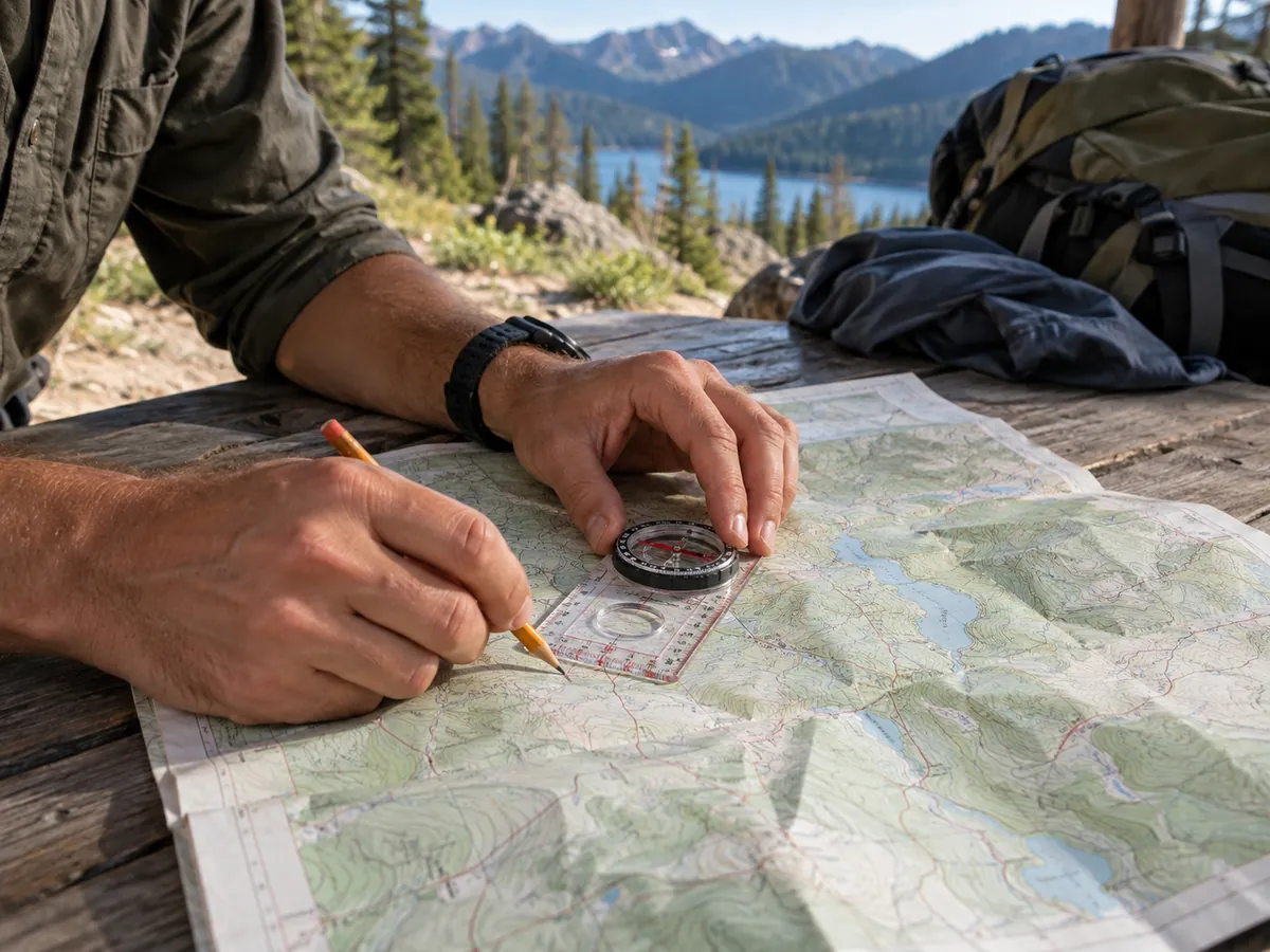
Contour lines join points of equal elevation. Closely spaced lines mean the land changes elevation quickly. Wide spacing indicates a gentler slope. A series of closed loops may show a hilltop; a V-shaped pattern crossing a creek often points upstream.
You don't have to become a surveyor to benefit. Suppose the map offers two ways around a ridge. One looks shorter but cuts directly across closely packed contour lines. The other curves along a more gradual slope. For someone carrying a pack, the second may be the more reasonable route even if it's longer.
Pay attention to the map scale. A short line drawn on paper can represent a surprisingly long walk, and climbing makes that distance feel longer. Check the contour interval, too. Ten lines on one map may mean a different elevation change than ten lines on another.
Use map information as an estimate, not a guarantee of easy travel. Vegetation, fences, land ownership, seasonal water, and changing trail conditions may not be represented accurately.
Build a navigation kit around your actual trips
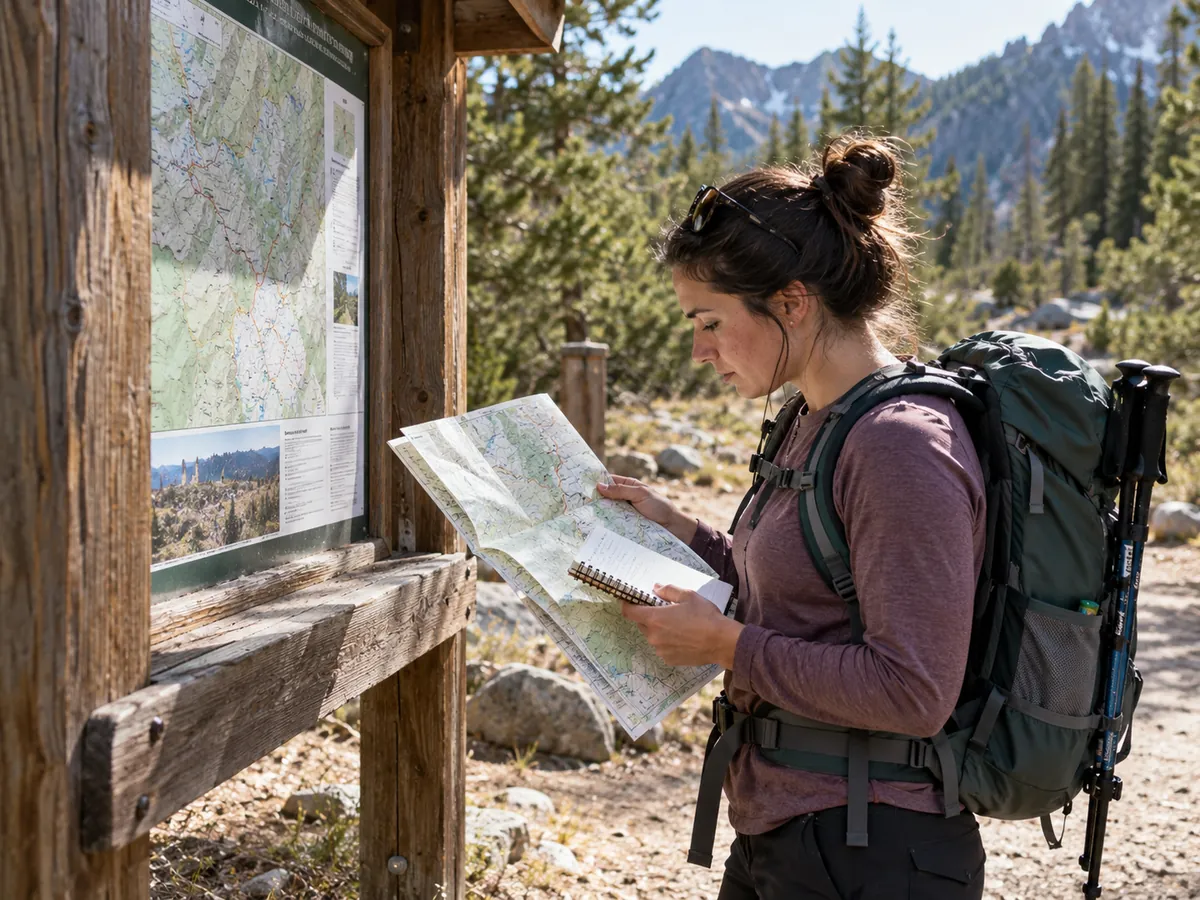
For ordinary road travel, I'd keep a regional road atlas or printed local map, a charging cable, a car charger, and enough reserve fuel to turn back from a closed route. For day hiking, add a current trail or topo map in a weather-resistant sleeve, a reliable compass, a flashlight, and a charged phone with offline maps saved. Longer or more remote travel demands a more serious communications and emergency plan.
A compass left in its packaging isn't much of a backup. Learn how to use it in a familiar park before testing your skills anywhere remote. Take a short, marked walking route with the map in hand. Identify a junction, predict which direction the next section runs, and check whether the terrain agrees.
There's a reason the bug-out bag packing guide emphasizes carrying gear you understand and can manage. A paper map that covers your actual route and a compass you've practiced with earn their space. A bulky collection of gadgets you haven't learned to use doesn't.
If you need rescue, make location your first message
When calling for help, give a known trailhead, road name, mile marker, junction, or last confirmed location. Describe nearby terrain and any visible structures. If your phone still shows coordinates, pass them along and state whether you believe they're current. Tell rescuers about injuries, weather exposure, and whether anyone is unable to move.
Once help is coming, don't keep changing locations unless remaining there is unsafe or rescuers instruct you otherwise. Moving can turn a straightforward search into a much larger one.
The best navigation plan starts before the phone fails. It's a map that covers the right place, an honest sense of where you last knew you were, and the judgment to turn back or stop before confusion becomes danger.